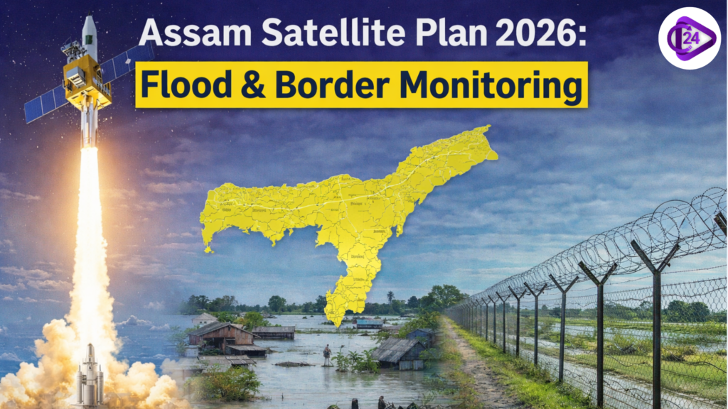
Assam is preparing to develop and launch its own satellites to strengthen disaster management and security capabilities. The initiative aims to improve real-time monitoring of floods, which frequently affect the state, and enhance surveillance along sensitive borders. By investing in space-based technology, authorities hope to access faster data, better mapping, and early warning systems that can save lives and reduce economic losses. The move also reflects a broader push toward technological self-reliance and regional innovation. If successful, Assam could set a model for other states seeking localized, efficient solutions to recurring environmental and security challenges
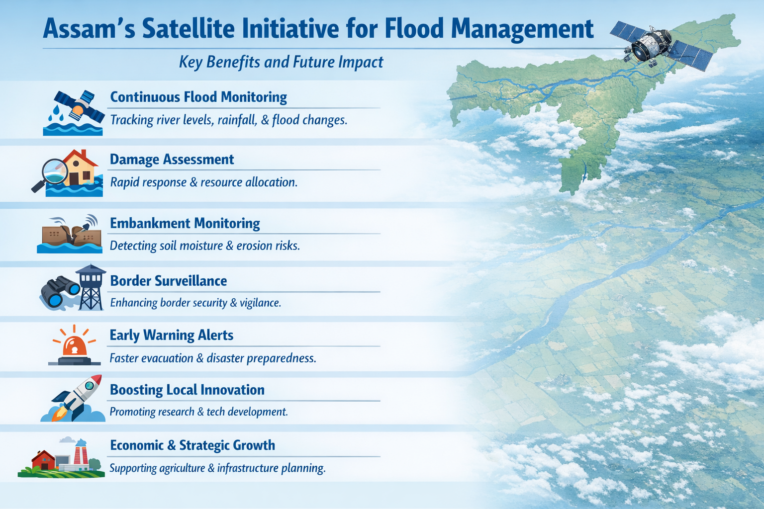
Key Benefits and Future Impact: Assam’s Satellite Initiative for Flood Management
Satellite deployment will enable continuous monitoring of river levels, rainfall patterns, and floodplain changes, improving forecasting accuracy across vulnerable districts.
High-resolution imagery supports damage assessment, helping authorities prioritize rescues, allocate resources efficiently, and coordinate relief efforts in real time.
Dedicated sensors can track embankment stress, soil moisture, and erosion trends, enabling preventive maintenance and reducing the likelihood of catastrophic breaches.
Border surveillance capabilities are enhanced through persistent imaging, movement detection, and integration with ground systems for quicker response to suspicious activities.
Satellite data can feed early warning platforms, sending alerts to communities, improving evacuation planning, and minimizing loss of life overall.
Indigenous satellite development encourages institutions, startups, and universities to collaborate, boosting skills, innovation, and employment opportunities within the space ecosystem.
Improved geospatial data agriculture planning, infrastructure development, and climate resilience strategies, extending benefits beyond disaster management into long-term economic growth.
Partnerships with space agencies and companies could accelerate development timelines, reduce costs, and ensure access to advanced technologies and expertise.
The initiative reduces dependence on satellite data providers, offering control over data security, customization, and mission priorities tailored to state needs.
Challenges funding requirements, expertise gaps, regulatory approvals, and ensuring term sustainability, but strategic planning can help overcome these barriers effectively.
Conclusion
Assam’s plan to launch its own satellites represents a forward-thinking step toward tackling persistent floods and strengthening border security with greater precision and independence. By leveraging space technology, the state can improve early warnings, enhance coordination during disasters, and ensure better protection of vulnerable regions. While challenges such as funding and technical expertise remain, the long-term benefits in resilience, safety, and development are substantial. This initiative not only addresses immediate concerns but also positions Assam as a leader in adopting innovative, localized solutions for complex environmental and security issues in the years ahead.