Daily Quizzes
Mock Tests
No tests attempted yet.
Select Category
ISRO and NASA’s Joint NISAR Mission to Begin Operations on November 7
Overview: The NASA-ISRO Synthetic Aperture Radar (NISAR) mission will officially become operational on November 7, 2025. Jointly developed by NASA and ISRO, it is the world’s most advanced Earth observation satellite, featuring dual radar systems (L-band and S-band).
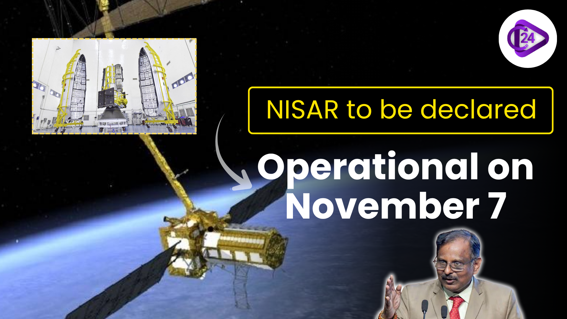
NISAR (NASA-ISRO Synthetic Aperture Radar), the joint Earth observation mission, is to be announced as operational on November 7. Having been jointly developed by NASA and ISRO, NISAR is the most sophisticated Earth-monitoring satellite in the world, equipped with a pair of radar systems (L-band and S-band). Upon successful calibration and testing, it will survey the changes (land, ice, and vegetation) of the Earth every 12 days. The satellite will be used to offer useful information in the monitoring of natural disasters, soil moisture, deforestation, and climate change. This is a significant milestone in India-US space cooperation, enhancing global environmental monitoring and advancing scientific research worldwide.
What is NISAR, and key factors of NISAR?
-
Fully Spelt: The NISAR acronym was used to denote the NASA-ISRO Synthetic Aperture Radar.
-
Partnership: NASA-ISRO (USA-India) joint mission.
-
Purpose: To map the surface of the Earth and track the changes of its ecosystems, natural disasters and ice melting, and climate effects.
-
Construction Beginning: The start of the project is 2014, with a contractual partnership.
-
Launch Date: Launch successful on July 30, 2025.
-
Operational Date: Will be fully operational by November 7, 2025.
-
Technology: It has two types of radar systems, L-band (NASA) and S-band (ISRO).
-
Orbit Type: It works in a near-polar, sun-synchronous orbit.
-
Significance: First satellite to provide stable worldwide radar images with a period of 12 days, improving climate, agriculture, and disaster management research studies.
Conclusion
The NISAR joint venture between the ISRO and NASA is a historic milestone in space co-operation. By launching operations on November 7, NISAR will transform Earth observation and offer accurate data about climate change, natural disasters, and ecosystem changes, empowering the global community to work in the direction of sustainable environmental observation and scientific growth.
Related Current Affairs
 Operation Urja Suraksha: Indian Navy’s Big Move to Protect Energy Supply via Hormuz
 NMC Declares Stem Cell Therapy for Autism Illegal
 UDAN 2.0 Revamp: Affordable Flights & More Cities to Get Air Connectivity
 Women’s Reservation Act Update: Centre Mulls Delimitation to Speed Implementation
 India Achieves One Billion Tonne Coal Production for 2nd Consecutive Year
 40% Child Malnutrition in Gujarat: Facts, Data and Ground Reality Explained
 Balirajgarh Fort
 ECI Begins Assembly Election for Assam, Kerala, Tamil Nadu, West Bengal and Puducherry
 Pi Day 2026: Interesting Facts and Historical Background
 India Overtakes China as Largest Exporter of Cotton Products to the US