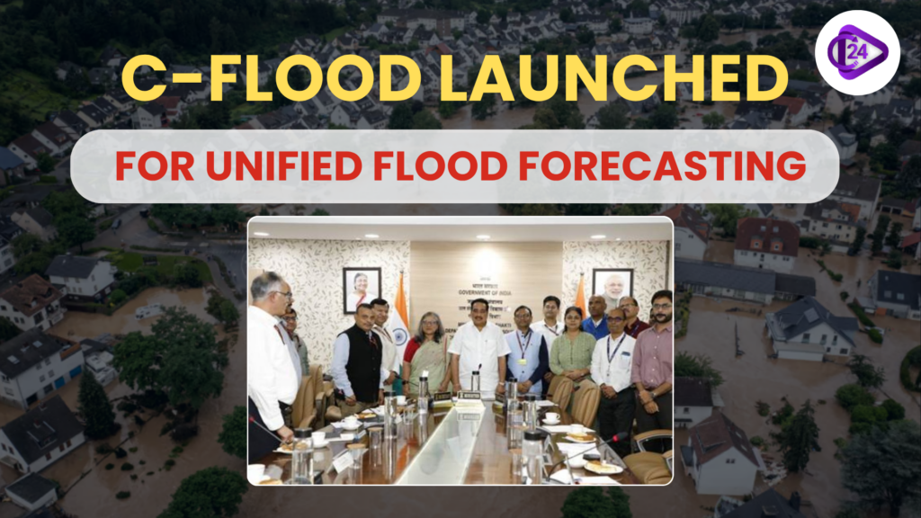
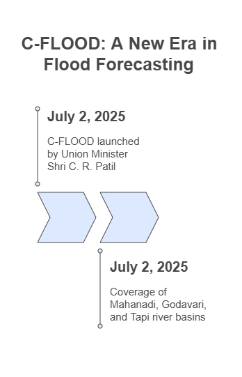
C-FLOOD, a web-based system to forecast floods designed during the National Supercomputing Mission (NSM), was launched on July 2, 2025, by the Union Minister of Jal Shakti Shri C. R. Patil. The system gives the village level two-days in advance flood forecasts in terms of maps and prediction of the water level. It combines the flood modelling of C-DAC, CWC, and NRSC and first of all, the Mahanadi, Godavari and Tapi river basins are covered with it. The platform uses a 2D hydrodynamic-modelling, which is high performance-based. This is a decisive moment on the way to enhancing disaster response and data-driven flood management in India.
Context
-
C-FLOOD is a novel single unified flood forecasting system which gives early-warning alerts of village-scale inundation through high computing power.
-
It increases the preparedness of India against disasters by combining the models found in the major river basins.
Key Points
About C-FLOOD
-
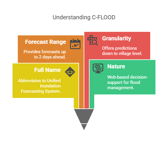
Full name: No expanded name but it abbreviates to Unified Inundation Forecasting System
-
Nature: Web-based decision-support
-
Forecast Range: This feature extends the forecast range up to 2 days of forecasts of inundation by flood, inundation extents and water level predictions
-
Granularity: Until the level of village
Developers and Collaborators
-
C-DAC Pune: NSM technical lead partner
-
Central Water Commission (CWC): Design and Flood modelling
-
NRSC (ISRO): Basin models of National Hydrology Project (NHP)
Ministries Involved:
-
Jal Shakti Ministry
-
MeitY-Ministry of Electronics and Information Technology
-
Department of Science and Technology (DST)
Technical Features
-
2D Hydrodynamic Modelling: A real-time flood modelling is simulated on a 2D area.
-
HPC Infrastructure: Simulations of Mahanadi are executed in supercomputers in C-DAC
-
Covered River basins: Mahanadi, Godavari, Tapi(additional river bases to be added)
-
Integration Target:To interconnect to the National Disaster Management Emergency Response Portal (NDEM)
Objectives and Benefits
-
Issue of early warning on floods on preparedness and mitigation
-
Support the local district and state disaster management bodies
-
Make data-sharing and integration between agencies easier
-
Allow ground-truth verification and increasing accuracy with the help of satellites
Governmental Guidance and perspectives
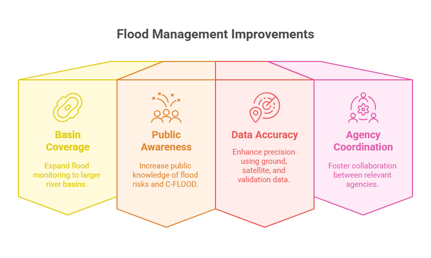
-
Extend to cover large river basins
-
Better inform and enlighten the people about C-FLOOD
-
Improve accuracy with ground truth, satellite and validation data
-
Encourage inter-agency coordination (CWC, C-DAC, NRSC, NDMA)
Conclusion
C-FLOOD shows the changing sands of India in terms of technology driven disaster risk reduction in line with the climate resilience and adaptive governance planning parameters. It is representative of the active nature of the government in flood forecasting, emergency planning and democratizing information.