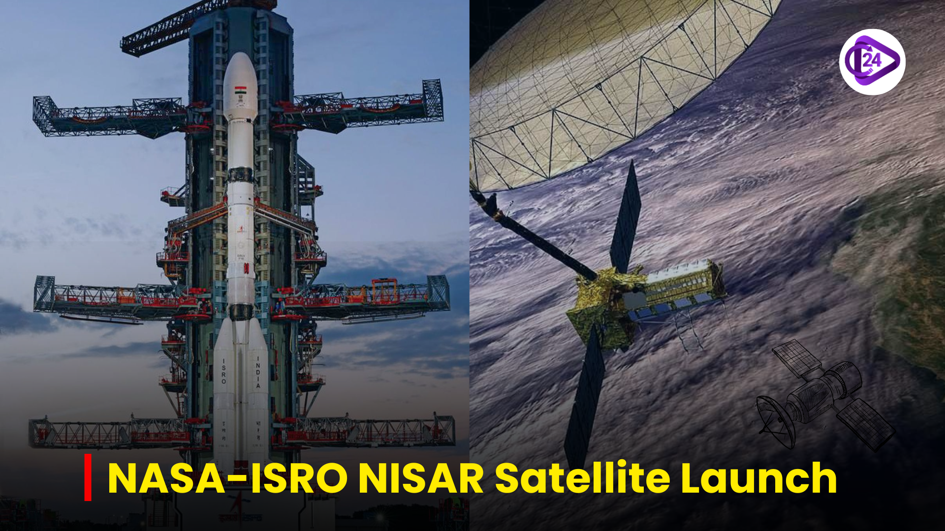
The NISAR satellite mission is the combined project between NASA and ISRO and it is going to be launched on GSLV-F16 in Sriharikota. It will be put into a sun-synchronous narrow orbit, with 743 km, to deliver all-weather and 12-day reoccurring data of the earth. The mission is an example of international collaboration and globalization in the context of COVID times. The S-band radar and satellite bus were developed by ISRO and L-band radar and other payloads by NASA. The project enhances the Indo US cooperation in space, and provides a model to the rest of the world in terms of global Earth science missions.
Context
-
NISAR The NASA-ISRO Synthetic Aperture Radar (NISAR) mission is a milestone in Indo-U.S. space collaboration. It will be the initial joint satellite enterprise of both agencies and it is to detect the surroundings of the Earth at an unprecedented level of frequency and precision.
Characteristics and Goals of NISAR
Launch Details:
-
Vehicle: GSLV-F16
-
Launch site: Satish Dhawan Space Centre, Sriharikota
-
Weight: 2,392kg
-
Orbit: 743km sun-synchronous
-
Take Off time: 5.40 p.m., Wednesday
Mission Capabilities:
-
International coverage with 12 days revisit.
-
Day-and-night observation of the Earth, in all weather conditions.
-
Polarization Cross-correlation on dual-band synthetic aperture radar (S: by ISRO, L: by NASA).
Applications:
-
Monitoring of climate change (melt of glaciers, forest biomass, carbon emissions).
-
Earthquake and tsunami management, floods management.
-
Food security and soil moisture (crop yield).
-
City planning and land evaluation.
Significance of this cooperation
-
Technological Partnership:
-
ISRO: S-band radar, bus of the spacecraft and a launch operation developed.
-
NASA (JPL): L-band radar, radar boom, communications and GPS, and payload data system provision.
-
-
Problem of Resistance and Success:
-
During COVID-19 65 ISRO engineers were operated at JPL; 175 NASA engineers came to India.
-
Demonstrated ability to do and adapt well within the UN functions.
-
-
International Relations and Strategic Value:
-
Strengthens the science and technology association between India and U.S.
-
Increases India on the international front in space exploration and data-diplomacy.
-
Implication for India
-
Scientific Advancement:
-
Increases India in its capabilities of earth science research and remote sensing.
-
It helps in policy making, especially in climate resilience, using the data.
-
-
Strategic Autonomy:
-
Eliminates the need to rely heavily on foreign sources of data regarding the monitoring of natural resources.
-
Covers national objectives of India such as Bharat@2047, Digital India, and Climate Resilient Development.
-
-
Global Leadership:
-
Places India as a sustainable partner in cutting edge big international missions.
-
Prime time to take the lead in green technologies to the Global South.
-
Conclusion
The NISAR mission is not only the next big step in Earth observation but also the example of Indo-U.S. long-range use of collaboration in the sphere of space. This is because with the increasing risk posed by climatic factors, natural hazards and development challenges facing the world today, NISAR will prove to be an effective and opportune science-oriented decision-making platform.


 Postal Department Considers UPI-like ‘Labels’ for Addresses
 Data Shows 34% Children Under Five Are Stunted
 DoT Says, Sanchar Saathi App Must Be Pre-Installed on Phones
 Minister Dr. Jitendra Singh Unveils Hansa-3 (NG) Trainer Aircraft in Bengaluru
 National Milk Day 2025: A Tribute to Dr Kurien and India’s Dairy Future
 Centre Implements Four Labour Codes | India’s Biggest Labour Reform 2025
 Supreme Court Rules No Mandatory Time Limit for Governors on Bills
 MeitY Launches India’s First National AI Governance Framework Under IndiaAI Mission
 Ayushman Bharat Becomes the World’s Biggest Health Coverage Mission
 Understanding Crime in India 2023: Highlights from The NCRB Report


