India intends to increase its capabilities in terms of enhancing its satellite monitoring on account of the planned launch of EOS–09 (RISAT-1B) on May 18, 2023, using PSLV-C61 from Sriharikota, India. Its sun-synchronous orbit, EOS-09 (RISAT-1B) will significantly enhance India’s sensitive borders and coastline monitoring. It is possible to attain high-resolution images at any point of time and under any weather conditions due to the use of C-band synthetic aperture radar. With border clashing intensifying, whereas the need for unswerving and reliable information gathering is increasing, this is happening. Its applications range from defense readiness to civilian fields.

Context:
-
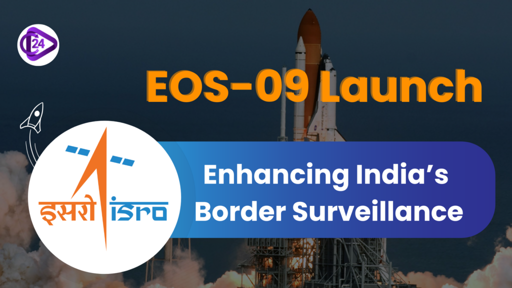
On May 18, 2025, ISRO plans to launch EOS-09 ( RISAT- 1B) to reinforce India’s border surveillance and earth observation structure.
Key Points:

Launch Details:
-
Launch Vehicle: PSLV-C61
-
Date & Time: May 18 at 6:59 AM IST
-
Location: Satish Dhawan Space Centre, Sriharikota
Key Features of EOS-09 (RISAT-1B):

-
The latest satellite on schedule to be launched on May 18 is EOS-09 (RISAT-1B), which makes use of C-band synthetic aperture radar (SAR) technology.
-
All-weather, day-night high-resolution imaging capability
-
Five imaging modes include a sub-metre resolution imagery mode.
Strategic Importance:
-
Builds up monitoring capability of India’s frontier with China and Pakistan.
-
Supports anti-infiltration and counter-terrorism operations
-
Allows security forces to access live, detailed imagery in the support their operations.
Civil Applications:
-
Promotes the observation of agricultural lands, forest resources, soil moisture, geological activities, and flood risks.
-
Multi-functional in coastal areas observation and sea ice, and object detection.

Relation to Previous Satellites:
-
Follows the RISAT-1 satellite
-
Enhances data by gaining information from Resourcesat, Cartosat, and RISAT-2B
-
RISAT-2’s ability to monitor was useful in the 2016 surgical strike and the 2019 Balakot air strike.
Conclusion:
With the launch of EOS-09, India put an important milestone in its dual-use space program by advancing national security through strategic surveillance as well as encouraging development using earth observation technologies. India’s development of these domestic space technologies in the face of changing security threats and expanding environmental imperatives is evidence of its increasing competent status and commitment towards making itself self-sufficient.
EOS-09 satellite UPSC Prelims PYQ-style MCQs
1. With reference to the EOS-09 (RISAT-1B) satellite launched by ISRO in 2024–25, consider the following statements:
-
It is a radar imaging satellite capable of all-weather and day-night Earth observation.
-
EOS-09 uses a Synthetic Aperture Radar (SAR) in the X-band frequency.
- It is primarily meant for communication services over remote and border areas.
Which of the statements given above is/are correct?
A. 1 only
B. 1 and 2 only
C. 2 and 3 only
D. 1, 2 and 3
EOS-09 satelliteUPSC Mains Practice Questions
Q.1 Evaluate the role of Synthetic Aperture Radar (SAR) satellites like EOS-09 in enhancing India’s preparedness for natural disasters and agricultural planning. (15 Marks)