Daily Quizzes
Mock Tests
No tests attempted yet.
Select Category
India’s Coastline Length Revised to 11,098.8 km Using Advanced Tech
Overview: India’s official coastline length has increased by 40% to 11,098.8 km due to precise mapping technologies like LIDAR and drones. This update enhances coastal safety, economic planning, and climate change preparedness. The revision reflects the coastline paradox and marks a major advancement in geospatial data accuracy.
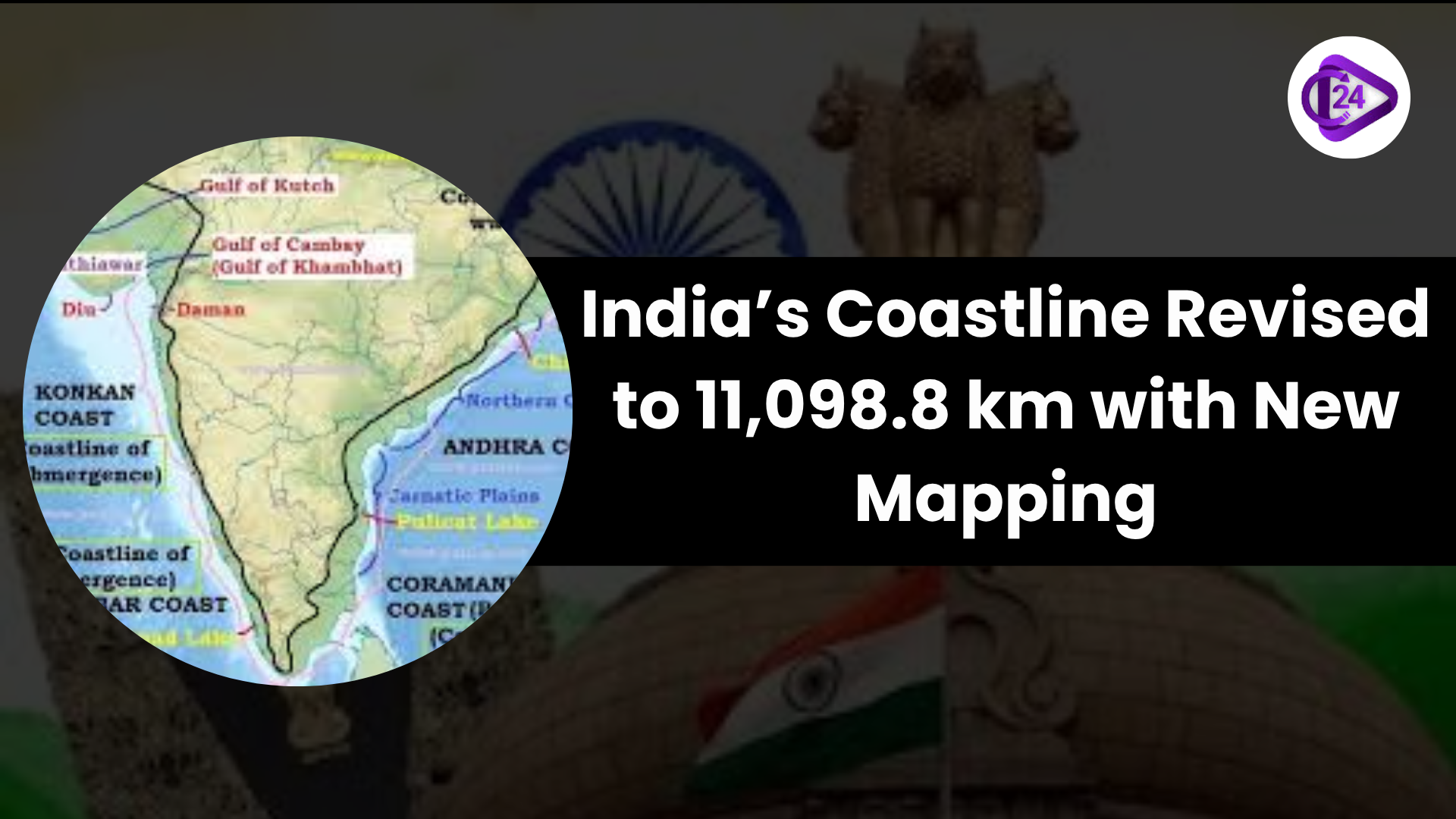
As shown in the 2023–2024 Annual Report of the Ministry of Home Affairs, the Government of India has increased the approved length of India’s coastline by 40%. The new version does not contain new territory because it is based on updated geospatial mapping, which allows much better measurement of coastal features and nearby islands, creeks, and estuaries. The new data play a key role in improving safety along the coast, economic zones, and in planning for climate change. This alignment is a demonstration of the coastline paradox, since finer-scale measurements find longer coastlines. Reviews improve the way we address issues along coasts, handle disasters and secure seas.
Context
-
As shown in the 2023–2024 Annual Report of the Ministry of Home Affairs, the Government of India has increased the approved length of India’s coastline by 40%.
-
Through improved digital mapping, the length of India’s coastline has increased.
-
Tools such as GPS, satellite altimetry, LIDAR-GPS, and drone images have been used.

Key Points
Measurement Update
-
Previously, the coastline length was 7,516.6 km (as shown at 1:4.5 million scale).
-
With revisions at the 1:250,000 scale, the length is now given as 11,098.8 km.
-
All measurements used the High Water Line (HWL) as found in the electronic navigation charts from 2011.
-
This work was carried out by the Survey of India and the National Hydrographic Office (NHO).
Technologies Employed
-
GIS is used for analyzing data in detail across a geographic area.
-
This satellite method uses super-precise elevation data.
-
LIDAR-GPS is used for mapping topography with high precision.
-
Capturing small coastal landmarks and islands is made easier with drones.

Scientific Principle: The Coastline Paradox
-
According to Lewis Fry Richardson and defined mathematically by Benoît Mandelbrot.
-
You can see from coastlines that length increases as the measurement becomes more detailed.
-
Depending on how you measure it, Britain’s coastline can be anywhere from 2,400 to 3,400 kilometers long.
Implication Result
-
The country’s long coast means there is a need for better surveillance and defense along its waters.
-
Exclusive Economic Zones (EEZ): There is a possible extension of national waters.
-
With better information, authorities are able to better plan for cyclones, floods and when sea levels will increase.
-
More accurate climate change modelling thanks to improvements in our coastal data.
-
Updating the geography curriculum is needed because the latest statistics have been revised.
About the Indian Coast
Data:
-
India has 9 coastal states and 4 Coastal UTs in India.
-
The coastline of India covers around 7,516.6 km.
-
About 6,100 km make up the mainland coastline.
-
The Andaman & Nicobar and Lakshadweep groups form a chain around 1,300+ km long.
-
Goa was the last coastal state to enter India in 1961.

Coastal States of India
-
There are nine coastal states: Gujarat, Maharashtra, Goa, Karnataka, Kerala, Tamil Nadu, Andhra Pradesh, Odisha, West Bengal
-
Daman & Diu, Puducherry, Andaman & Nicobar Islands and Lakshadweep are marine UTs.

Eastern Coast is the Bay of Bengal.
-
The states covered are West Bengal, Odisha, Andhra Pradesh and Tamil Nadu.
-
Description: The land is generally broad and flat, with most huge deltas (Ganga, Mahanadi, Godavari, Krishna, Kaveri), highly vulnerable to cyclones
The Arabian Sea sides of the Western Coast.
-
States included are Gujarat, Maharashtra, Goa, Karnataka and Kerala
-
Special Features: Narrow water paths, backwater rivers and ghats close to the sea
Major Ports:
-
Seven major ports out of the 12 in India are Mumbai, Chennai, Kolkata, Visakhapatnam, Cochin, Kandla (Deendayal), and Mormugao.

Importance of the Coast
-
The area helps fishing, ports, shipping, tourism, oil & gas, and salt production.
-
Important for both the Blue Economy and the Sagarmala Project.
-
The wetlands also feature mangroves, coral reefs, estuaries, plus important areas with a wide range of marine life.
-
The Sundarbans, named by UNESCO, is the biggest mangrove forest on the planet.
-
It plays a major part in India’s defence system, the support of sea trade, and strategy for growth and stability in surrounding countries (SAGAR).
Conclusion
The update of India’s coastline highlights the value of new technologies in geospatial sciences for shaping the nation’s policies and safety. The new knowledge of coastal geography will help enhance rules for oceans, prepare for disasters and support climate-friendly actions, as India shows its commitment to using science for sustainable growth.